Inscription
On a November afternoon in 1864 brave Confederate sons of Tennessee moved forward into battle against Federal lines entrenched two miles north. Winstead Hill served as the place of assembly and was an observation point during the battle.
Confederate regiments formed in Tennessee and present for the campaign:
Quarles Brigade including 42nd, 46th, 48th, 49th, 53rd, and 55th Tennessee Infantry
Granbury's Brigade including 35th Tennessee Infantry & 5th Confederate Infantry (Memphis)
Maney's Brigade including 1st, 4th (Prov), 6th, 8th, 9th, 16th, 27th, 28th, and 50th Tennessee Infantry
Strahl's Brigade including 4th, 5th, 19th, 24th, 31st, 33rd, 38th, and 41st Tennessee Infantry
Vaughn's Brigade 11th, 12th, 13th, 20th, 47th, 51st, 52nd, and 154th Tennessee Infantry
Smith's Brigade 2nd, 10th, 20th, 30th, and 37th Tennessee Cavalry
Marshall's Tennessee Battery
Phillip's Tennessee Battery
Rucker's Brigade 7th, 12th, 14th and 15th Tennessee Cavalry
Forrest's Escort Tennessee Cavalry
Biffle's Brigade 10th Tennessee Cavalry
Bell's Brigade 2nd, 19th, 20th, and 21st Cavalry
Nixon's Regiment Tennessee Cavalry
Morton's Tennessee Artillery
Courage and sacrifice became the order of the day as nearly 7,000 Confederate soldiers failed to leave the field of battle.
This Battle of Franklin was the most brutal of the decisive Tennessee Campaign of the winter of 1864. The Army of Tennessee would fight until war's end in 1865.
Erected by Sam Davis Camp #1293 and the Tennessee Division, Sons of Confederate Veterans
Details
| HM Number | HM2JFW |
|---|---|
| Tags | |
| Placed By | Sons of Confederate Veterans |
| Marker Condition | No reports yet |
| Date Added | Wednesday, August 7th, 2019 at 11:01am PDT -07:00 |
Pictures
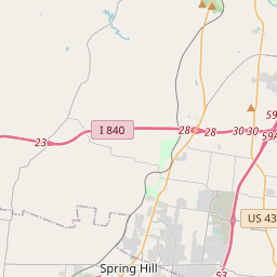
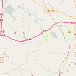
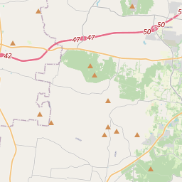
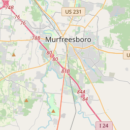
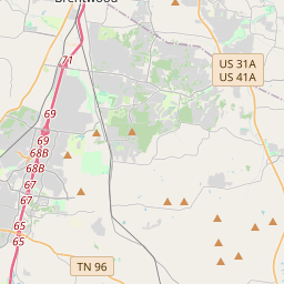
Locationbig map


| UTM (WGS84 Datum) | 16S E 511020 N 3971595 |
|---|---|
| Decimal Degrees | 35.88856667, -86.87790000 |
| Degrees and Decimal Minutes | N 35° 53.314', W 86° 52.674' |
| Degrees, Minutes and Seconds | 35° 53' 18.84" N, 86° 52' 40.44" W |
| Driving Directions | Google Maps |
| Which side of the road? | Marker is on the right when traveling South |
| Closest Postal Address | At or near , , |
| Alternative Maps | Google Maps, MapQuest, Bing Maps, Yahoo Maps, MSR Maps, OpenCycleMap, MyTopo Maps, OpenStreetMap |
Is this marker missing? Are the coordinates wrong? Do you have additional information that you would like to share with us? If so, check in.
Nearby Markersshow on map
Show me all markers in:
Maintenance Issues
- What country is the marker located in?
- Is this marker part of a series?
- What historical period does the marker represent?
- What historical place does the marker represent?
- What type of marker is it?
- What class is the marker?
- What style is the marker?
- Does the marker have a number?
- What year was the marker erected?
- This marker needs at least one picture.
- Can this marker be seen from the road?
- Is the marker in the median?
Comments 0 comments