Inscription
1752
— Ohio Historical Marker —
In the mid-1700s, France found its influence waning among midwestern tribes as it contested for Native American trade and military alliances with Great Britain. Shortly after Miami Chief Memeskia (also known as Old Britain or La Demoiselle) moved his village to Pickawillany, British traders were given permission to establish a small post in the village, which was deep in the territory claimed by France. When French demands to evacuate the post failed, Charles Langlade led a party of 250 Ottawa and Ojibwa warriors and French Canadians in a surprise attack on the Miami village on June 21, 1752. The trading post was destroyed, British traders were taken to Detroit as prisoners, and Memeskia was executed. Pickawillany was completely abandoned soon after. As a prelude to the French and Indian War, the Battle of Pickawillany fueled land claim and trading right conflicts between France and Britain.Details
| HM Number | HMD38 |
|---|---|
| Series | This marker is part of the Daughters of the American Revolution series, and the Ohio: Ohio Historical Society series. |
| Tags | |
| Marker Number | 6-55 |
| Year Placed | 2003 |
| Placed By | The Marietta Chapter NSDAR Piqua Historical Area and the Ohio Historical Society |
| Marker Condition | No reports yet |
| Date Added | Thursday, October 23rd, 2014 at 11:13am PDT -07:00 |
Pictures
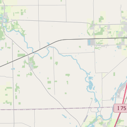
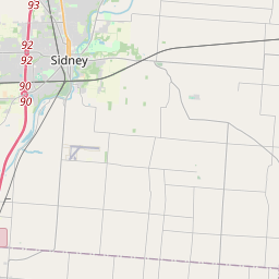
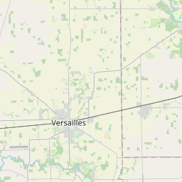
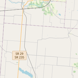
Locationbig map
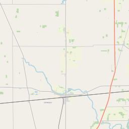
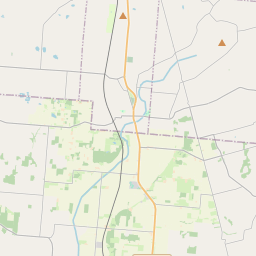

| UTM (WGS84 Datum) | 16T E 733081 N 4451276 |
|---|---|
| Decimal Degrees | 40.17951667, -84.26241667 |
| Degrees and Decimal Minutes | N 40° 10.771', W 84° 15.745' |
| Degrees, Minutes and Seconds | 40° 10' 46.26" N, 84° 15' 44.70" W |
| Driving Directions | Google Maps |
| Area Code(s) | 937 |
| Closest Postal Address | At or near 9821-9899 Co Hwy 110, Piqua OH 45356, US |
| Alternative Maps | Google Maps, MapQuest, Bing Maps, Yahoo Maps, MSR Maps, OpenCycleMap, MyTopo Maps, OpenStreetMap |
Is this marker missing? Are the coordinates wrong? Do you have additional information that you would like to share with us? If so, check in.
Nearby Markersshow on map
Maintenance Issues
- What historical period does the marker represent?
- What historical place does the marker represent?
- What type of marker is it?
- What class is the marker?
- What style is the marker?
- This marker needs at least one picture.
- Can this marker be seen from the road?
- Is the marker in the median?
Comments 0 comments