Inscription
For a period of 128 years until its abandonment in 1955, a United States Arsenal was located on a tract comprising approxiamately 70 acres lying South and West of this spot. An "arsenal at Augusta" to aid the state in "resisting invasion" was originally provided for by President George Washington in 1793.
In 1816 a U.S. Arsenal was established on the Savannah River where the King Mill is now located, but the garrison having been wiped out in 1819 by "black fever," it was removed to this site in 1827 and consisted of two magnificent sets of officers quarters, an enlisted men`s barracks and a storehouse building conneted by a loopholed wall. Expanding activities to meet the requirements of the Army in subsequent wars increased the number of buildings to a total of 101 at the end of World War II.
On January 24, 1861, it was surrendered to Georgia troops with its garrison of 80 men commanded by Captain Arnold Elzey, and during the War Between the States it manufactured a variety of ordnance for the Confederate Army.
Details
| HM Number | HMN7E |
|---|---|
| Series | This marker is part of the Georgia: Georgia Historical Society/Commission series |
| Tags | |
| Marker Number | 121-25 |
| Year Placed | 1956 |
| Placed By | Georgia Historical Commission |
| Marker Condition | No reports yet |
| Date Added | Wednesday, September 24th, 2014 at 6:38am PDT -07:00 |
Pictures
Locationbig map

| UTM (WGS84 Datum) | 17S E 405014 N 3704764 |
|---|---|
| Decimal Degrees | 33.47815000, -82.02233333 |
| Degrees and Decimal Minutes | N 33° 28.689', W 82° 1.34' |
| Degrees, Minutes and Seconds | 33° 28' 41.34" N, 82° 1' 20.40" W |
| Driving Directions | Google Maps |
| Area Code(s) | 706 |
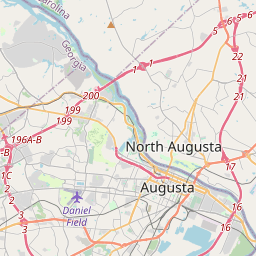
| Closest Postal Address | At or near 2426-2498 Walton Way, Augusta GA 30904, US |
| Alternative Maps | Google Maps, MapQuest, Bing Maps, Yahoo Maps, MSR Maps, OpenCycleMap, MyTopo Maps, OpenStreetMap |
Is this marker missing? Are the coordinates wrong? Do you have additional information that you would like to share with us? If so, check in.
Nearby Markersshow on map
Maintenance Issues
- What historical period does the marker represent?
- What historical place does the marker represent?
- What type of marker is it?
- What class is the marker?
- What style is the marker?
- This marker needs at least one picture.
- Can this marker be seen from the road?
- Is the marker in the median?
Comments 0 comments