Inscription
Built in 1834 by William Polke, first white settler in Fulton County, this is the oldest and first frame house in the county and the first frame house built north of Wabash River. It was called the White House and was a stagecoach inn on the Michigan Road. Born in 1775, Polke was captured when 7 years old and held prisoner by Indians for over a year. He was wounded in Battle of Tippecanoe 1811, served in Indiana Territorial House of Representatives and in first State Senate, member of convention that wrote first Indiana constitution 1816, and with brother-in-law Isaac McCoy was missionary to Indians 1824-25. In 1829 Polke was appointed commissioner for sale of Michigan Road lands, coming to Fulton County in 1830 to survey. In 1831 on south bank of Tippecanoe, Polke built a log cabin and trading post, in which was Chippeway post office, making him first postmaster in county. In 1834 Polke helped lay out the town of Plymouth. In 1838 Gen. John Tipton had charge of removing Potawatomi Indians from northern Indiana to Kansas, the infamous Trail of Death. At the Indiana state line, Tipton left Polke in charge of the march. Polke befriended the Indians in every way he could. Polke moved to Fort Wayne in 1841 to be registrar of land office there, where he died in 1843.
Details
| HM Number | HMNMC |
|---|---|
| Series | This marker is part of the Potawatomi - Trail of Death series |
| Tags | |
| Year Placed | 1976 |
| Placed By | Polke's Descendents, Fulton County Historical Society |
| Marker Condition | No reports yet |
| Date Added | Sunday, September 14th, 2014 at 2:10am PDT -07:00 |
Pictures
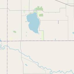
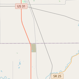
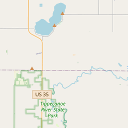
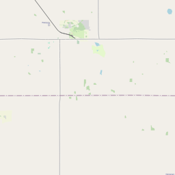
Locationbig map


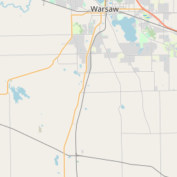

| UTM (WGS84 Datum) | 16T E 563717 N 4551101 |
|---|---|
| Decimal Degrees | 41.10870000, -86.24113333 |
| Degrees and Decimal Minutes | N 41° 6.522', W 86° 14.468' |
| Degrees, Minutes and Seconds | 41° 6' 31.32" N, 86° 14' 28.08" W |
| Driving Directions | Google Maps |
| Area Code(s) | 574 |
| Closest Postal Address | At or near 3612-3678 N Meridian Rd, Rochester IN 46975, US |
| Alternative Maps | Google Maps, MapQuest, Bing Maps, Yahoo Maps, MSR Maps, OpenCycleMap, MyTopo Maps, OpenStreetMap |
Is this marker missing? Are the coordinates wrong? Do you have additional information that you would like to share with us? If so, check in.
Nearby Markersshow on map
Maintenance Issues
- What historical period does the marker represent?
- What historical place does the marker represent?
- What type of marker is it?
- What class is the marker?
- What style is the marker?
- Does the marker have a number?
- This marker needs at least one picture.
- Can this marker be seen from the road?
- Is the marker in the median?
Comments 0 comments