Inscription
(Butterfield Stage)
Passed near this site, providing for the first time combined passenger and mail service between Pacific and Atlantic coasts. Operating west from St. Louis and Memphis, John Butterfield's company used 1,350 horses and mules and 90 Concord coaches and wagons.Stage traveled at a run, despite lack of good roads. A signal given approaching a station would have fresh horses ready and food on the table for crew and passengers. Route had stations 12 to 113 miles apart, and was sometimes changed to get water. Crew and passengers wore guns; to reduce danger of Indian attacks, mules (less coveted than horses) were used west of Ft. Belknap. The trip one way took 25 days—seven spent crossing Texas, from Prston (now under Lake Texoma) to Jacksboro, Ft. Belknap, Ft. Chadbourne and El Paso. One way fare for the 2,700 miles was $200. Passengers rarely stopped off, because they might not find seats on a later stage. Merchants in Jacksboro and other towns used Butterfield's light freight service to make mail-order sales.
Greatest contribution of the Overland Stage was its carrying news; coaches also brought mail from the west one to 10 days faster than it came by ship.
Service was ended in 1861 by the Civil War.
Details
| HM Number | HM1KF9 |
|---|---|
| Tags | |
| Marker Number | 4983 |
| Year Placed | 1966 |
| Placed By | Texas State Historical Survey Committee and the Moody Foundation |
| Marker Condition | No reports yet |
| Date Added | Friday, May 8th, 2015 at 10:01pm PDT -07:00 |
Pictures
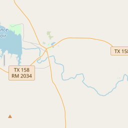
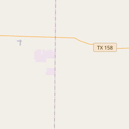
Locationbig map


| UTM (WGS84 Datum) | 14R E 368454 N 3529872 |
|---|---|
| Decimal Degrees | 31.89708333, -100.39106667 |
| Degrees and Decimal Minutes | N 31° 53.825', W 100° 23.464' |
| Degrees, Minutes and Seconds | 31° 53' 49.5" N, 100° 23' 27.84" W |
| Driving Directions | Google Maps |
| Area Code(s) | 325 |
| Which side of the road? | Marker is on the right when traveling East |
| Closest Postal Address | At or near TX-158, Bronte TX 76933, US |
| Alternative Maps | Google Maps, MapQuest, Bing Maps, Yahoo Maps, MSR Maps, OpenCycleMap, MyTopo Maps, OpenStreetMap |
Is this marker missing? Are the coordinates wrong? Do you have additional information that you would like to share with us? If so, check in.
Nearby Markersshow on map
Maintenance Issues
- Is this marker part of a series?
- What historical period does the marker represent?
- What historical place does the marker represent?
- What type of marker is it?
- What class is the marker?
- What style is the marker?
- This marker needs at least one picture.
- Can this marker be seen from the road?
- Is the marker in the median?
Comments 0 comments