Inscription
Navigating a Historic River
When George Washington stood here in 1772, he sought a way to open a water route to the West. Traveling over the region's most rugged mountains was time consuming and dangerous. New settlers needed a more efficient way to transport goods like tobacco, corn, lumber, iron ore, stone, whiskey, and wheat to market.The United States needed to control this water gap to protect its interests on both sides of the mountains. The James River, with the supporting canal, was a vital commercial and strategic waterway from Richmond's port to Buchanan.You are standing at the lowest point along the Blue Ridge Parkway and the gateway through the Appalachian Mountains.The James River carved this gap through the mountains. The river and the Kanawha Canal created an important transportation route first by foot then by boat, train, and automobile.Details
| HM Number | HM1T52 |
|---|---|
| Tags | |
| Placed By | National Park Service |
| Marker Condition | No reports yet |
| Date Added | Monday, July 18th, 2016 at 9:02pm PDT -07:00 |
Pictures
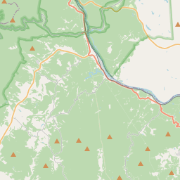
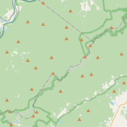
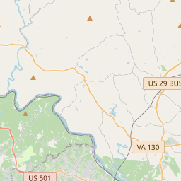
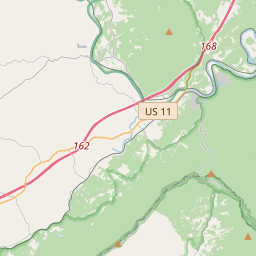
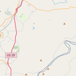
Locationbig map


| UTM (WGS84 Datum) | 17S E 644372 N 4157731 |
|---|---|
| Decimal Degrees | 37.55530000, -79.36550000 |
| Degrees and Decimal Minutes | N 37° 33.318', W 79° 21.93' |
| Degrees, Minutes and Seconds | 37° 33' 19.08" N, 79° 21' 55.8" W |
| Driving Directions | Google Maps |
| Area Code(s) | 434 |
| Which side of the road? | Marker is on the right when traveling North |
| Closest Postal Address | At or near Blue Ridge Pkwy, Monroe VA 24574, US |
| Alternative Maps | Google Maps, MapQuest, Bing Maps, Yahoo Maps, MSR Maps, OpenCycleMap, MyTopo Maps, OpenStreetMap |
Is this marker missing? Are the coordinates wrong? Do you have additional information that you would like to share with us? If so, check in.
Nearby Markersshow on map
Maintenance Issues
- Is this marker part of a series?
- What historical period does the marker represent?
- What historical place does the marker represent?
- What type of marker is it?
- What class is the marker?
- What style is the marker?
- Does the marker have a number?
- What year was the marker erected?
- This marker needs at least one picture.
- Can this marker be seen from the road?
- Is the marker in the median?
Comments 0 comments