Inscription
1851-1880
This lift lock, built in 1848, is 15 feet wide, 21 feet deep top to bottom, and 100 feet between gates. It lowered or lifted boats 13 feet allowing them passage to and from the river. The bottom is covered with original pine planking and walls are of local stone.Details
| HM Number | HM2JER |
|---|---|
| Tags | |
| Placed By | National Park Service, Blue Ridge Parkway |
| Marker Condition | No reports yet |
| Date Added | Tuesday, August 6th, 2019 at 8:02am PDT -07:00 |
Pictures
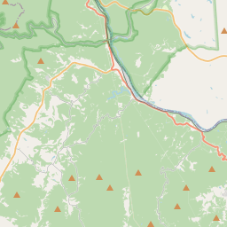
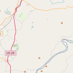
Locationbig map


| UTM (WGS84 Datum) | 17S E 644293 N 4157702 |
|---|---|
| Decimal Degrees | 37.55505000, -79.36640000 |
| Degrees and Decimal Minutes | N 37° 33.303', W 79° 21.984' |
| Degrees, Minutes and Seconds | 37° 33' 18.18" N, 79° 21' 59.04" W |
| Driving Directions | Google Maps |
| Which side of the road? | Marker is on the right when traveling North |
| Closest Postal Address | At or near , , |
| Alternative Maps | Google Maps, MapQuest, Bing Maps, Yahoo Maps, MSR Maps, OpenCycleMap, MyTopo Maps, OpenStreetMap |
Is this marker missing? Are the coordinates wrong? Do you have additional information that you would like to share with us? If so, check in.
Nearby Markersshow on map
Maintenance Issues
- What country is the marker located in?
- Is this marker part of a series?
- What historical period does the marker represent?
- What historical place does the marker represent?
- What type of marker is it?
- What class is the marker?
- What style is the marker?
- Does the marker have a number?
- What year was the marker erected?
- This marker needs at least one picture.
- Can this marker be seen from the road?
- Is the marker in the median?
Comments 0 comments