Inscription
As It May Have Looked in the Mid 1800's
Canal Water was obtained from a dam on the James River six miles upstream. Battery Creek (under the present railroad bridge) did not flow into the canal as is does today. Since it is now the only water source for the restored lock, the water level may be low at times.The river is calm and deeper here due to a canal dam 2/3 mile downstream. This allowed boats to use the river while still being pulled by mules.
(image)
(not to scale) depicts a carriage on the Blue Ridge Turnpike, the Battery Creek, two bridges, the James River, the Kanawha Canal, and the towpath with two mules pulling a canal boat.
Details
| HM Number | HM2JEP |
|---|---|
| Tags | |
| Placed By | National Park Service, Blue Ridge Parkway |
| Marker Condition | No reports yet |
| Date Added | Tuesday, August 6th, 2019 at 8:01am PDT -07:00 |
Pictures
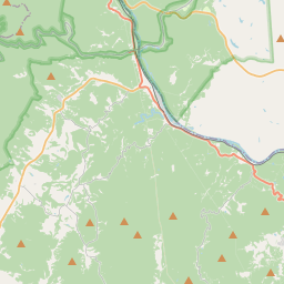
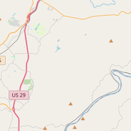
Locationbig map


| UTM (WGS84 Datum) | 17S E 644289 N 4157678 |
|---|---|
| Decimal Degrees | 37.55483333, -79.36645000 |
| Degrees and Decimal Minutes | N 37° 33.29', W 79° 21.987' |
| Degrees, Minutes and Seconds | 37° 33' 17.4" N, 79° 21' 59.22" W |
| Driving Directions | Google Maps |
| Which side of the road? | Marker is on the right when traveling North |
| Closest Postal Address | At or near , , |
| Alternative Maps | Google Maps, MapQuest, Bing Maps, Yahoo Maps, MSR Maps, OpenCycleMap, MyTopo Maps, OpenStreetMap |
Is this marker missing? Are the coordinates wrong? Do you have additional information that you would like to share with us? If so, check in.
Nearby Markersshow on map
Maintenance Issues
- What country is the marker located in?
- Is this marker part of a series?
- What historical period does the marker represent?
- What historical place does the marker represent?
- What type of marker is it?
- What class is the marker?
- What style is the marker?
- Does the marker have a number?
- What year was the marker erected?
- This marker needs at least one picture.
- Can this marker be seen from the road?
- Is the marker in the median?
Comments 0 comments