Inscription
Details
| HM Number | HM1T50 |
|---|---|
| Tags | |
| Year Placed | 1985 |
| Marker Condition | No reports yet |
| Date Added | Monday, July 18th, 2016 at 9:02pm PDT -07:00 |
Pictures
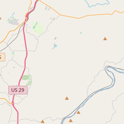
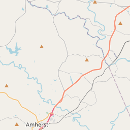
Locationbig map
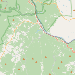


| UTM (WGS84 Datum) | 17S E 644333 N 4157736 |
|---|---|
| Decimal Degrees | 37.55535000, -79.36593333 |
| Degrees and Decimal Minutes | N 37° 33.321', W 79° 21.956' |
| Degrees, Minutes and Seconds | 37° 33' 19.26" N, 79° 21' 57.36" W |
| Driving Directions | Google Maps |
| Area Code(s) | 434 |
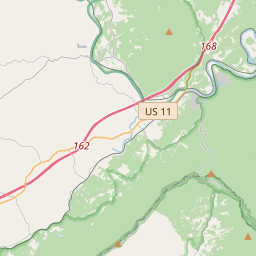
| Which side of the road? | Marker is on the right when traveling North |
| Closest Postal Address | At or near Blue Ridge Pkwy, Big Island VA 24526, US |
| Alternative Maps | Google Maps, MapQuest, Bing Maps, Yahoo Maps, MSR Maps, OpenCycleMap, MyTopo Maps, OpenStreetMap |
Is this marker missing? Are the coordinates wrong? Do you have additional information that you would like to share with us? If so, check in.
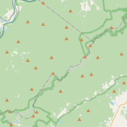
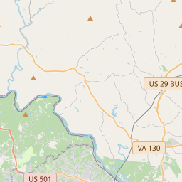
Nearby Markersshow on map
Maintenance Issues
- Is this marker part of a series?
- What historical period does the marker represent?
- What historical place does the marker represent?
- What type of marker is it?
- What class is the marker?
- What style is the marker?
- Does the marker have a number?
- Who or what organization placed the marker?
- This marker needs at least one picture.
- Can this marker be seen from the road?
- Is the marker in the median?
Comments 0 comments