Inscription
Historic Oregon Trail.
The pioneer road here detoured the Columbia River rapids and Mount Hood to the Willamette Valley. The road at first followed an old Indian trail. The later name was Barlow Road. Travel was difficult. Wagons were snubbed to trees by ropes on held back by drags of cut trees. Early travelers named the hill from the resemblance of native leaves to Laurel.Details
| HM Number | HM24EY |
|---|---|
| Tags | |
| Placed By | Oregon Department of Transportation |
| Marker Condition | No reports yet |
| Date Added | Sunday, January 7th, 2018 at 1:03pm PST -08:00 |
Pictures
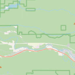
Locationbig map


| UTM (WGS84 Datum) | 10T E 593968 N 5018229 |
|---|---|
| Decimal Degrees | 45.31128333, -121.80123333 |
| Degrees and Decimal Minutes | N 45° 18.677', W 121° 48.074' |
| Degrees, Minutes and Seconds | 45° 18' 40.62" N, 121° 48' 4.4399999999999" W |
| Driving Directions | Google Maps |
| Area Code(s) | 503 |
| Which side of the road? | Marker is on the right when traveling East |
| Closest Postal Address | At or near US-26, Rhododendron OR 97049, US |
| Alternative Maps | Google Maps, MapQuest, Bing Maps, Yahoo Maps, MSR Maps, OpenCycleMap, MyTopo Maps, OpenStreetMap |
Is this marker missing? Are the coordinates wrong? Do you have additional information that you would like to share with us? If so, check in.
Nearby Markersshow on map
Maintenance Issues
- Is this marker part of a series?
- What historical period does the marker represent?
- What historical place does the marker represent?
- What type of marker is it?
- What class is the marker?
- What style is the marker?
- Does the marker have a number?
- What year was the marker erected?
- This marker needs at least one picture.
- Can this marker be seen from the road?
- Is the marker in the median?

Comments 0 comments