Inscription
Bald Mountain Mine
—Lead, South Dakota —
The Bald Mountain district, which includes the Portland area, is 3½ miles southwest of the Lead district. Claims were located in the Portland area in 1877, but early mining was handicapped by the highly refractory (difficulty) nature of the ore. About $3 million worth of bullion, mostly in gold, was produced by the Mogul Mining Co. up to 1900. Other companies were also active during this early period.By 1891, the milling and metallurgical difficulties were overcome by the chlorination process, and in 1892 cyanidation proved even more successful. The Bald Mountain District entered a period of prosperous development that ended at the close of World War I owing to high costs. The increased price of gold in 1934 caused a pronounced reactivation which lasted until World War II. After the war, mining was resumed on a small scale, but increased operating costs again forced the owners to close in 1959. Total gold production of the Bald Mountain District, through 1959, was roughly 1,400,000 ounces.
Details
| HM Number | HM2ADP |
|---|---|
| Tags | |
| Placed By | Black Hills Mining Museum |
| Marker Condition | No reports yet |
| Date Added | Tuesday, August 14th, 2018 at 7:02pm PDT -07:00 |
Pictures
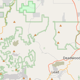
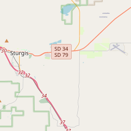
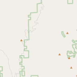
Locationbig map

| UTM (WGS84 Datum) | 13T E 598249 N 4911681 |
|---|---|
| Decimal Degrees | 44.35175000, -103.76725000 |
| Degrees and Decimal Minutes | N 44° 21.105', W 103° 46.035' |
| Degrees, Minutes and Seconds | 44° 21' 6.3" N, 103° 46' 2.0999999999998" W |
| Driving Directions | Google Maps |
| Area Code(s) | 605 |
| Which side of the road? | Marker is on the right when traveling East |
| Closest Postal Address | At or near 323 W Main St, Lead SD 57754, US |
| Alternative Maps | Google Maps, MapQuest, Bing Maps, Yahoo Maps, MSR Maps, OpenCycleMap, MyTopo Maps, OpenStreetMap |
Is this marker missing? Are the coordinates wrong? Do you have additional information that you would like to share with us? If so, check in.
Nearby Markersshow on map
Show me all markers in: Lead, SD | Lawrence County | 57754 | South Dakota | United States of America
Maintenance Issues
- Is this marker part of a series?
- What historical period does the marker represent?
- What historical place does the marker represent?
- What type of marker is it?
- What class is the marker?
- What style is the marker?
- Does the marker have a number?
- What year was the marker erected?
- This marker needs at least one picture.
- Can this marker be seen from the road?
- Is the marker in the median?
Comments 0 comments