Inscription
These foundations mark the site of a two-story frame building erected by the Reverend Samuel W. Pond in 1847. It served as a Presbyterian mission to the Shakopee Sioux, and as Pond's home until his death in 1891.
An eight-foot stockade enclosed the house and a half-acre garden.
The building was wrecked about 1907.
An eight-foot stockade enclosed the house and a half-acre garden.
The building was wrecked about 1907.
Details
| HM Number | HMD0Z |
|---|---|
| Additional Information | See MNDOT's Inventory Sheet for further info. |
| Series | This marker is part of the Minnesota Department of Highways series, and the Minnesota Historical Society series, and the Minnesota NYA Projects series. |
| Tags | |
| Historical Period | 19th Century |
| Historical Place | Park, Home, Church/House of Worship |
| Marker Type | Other |
| Marker Class | Historical Marker |
| Marker Style | Mounted |
| Marker Number | SC-SPC-069 |
| Year Placed | 1954 |
| Placed By | Minnesota Department of Highways, Minnesota Historical Society |
| Marker Condition | No reports yet |
| Date Added | Wednesday, October 8th, 2014 at 3:03pm PDT -07:00 |
Pictures
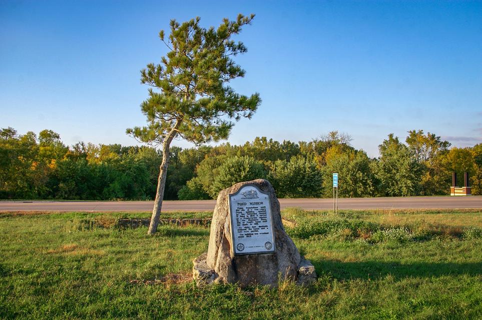

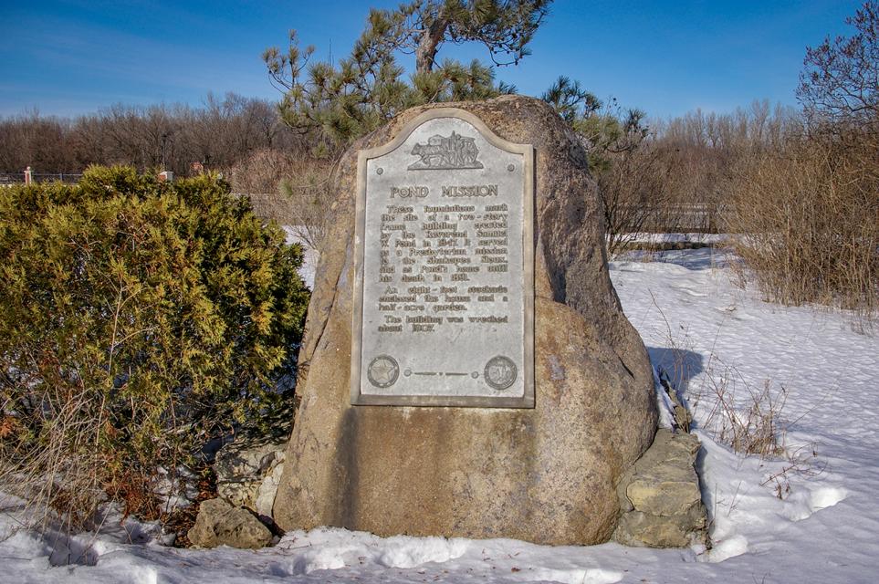
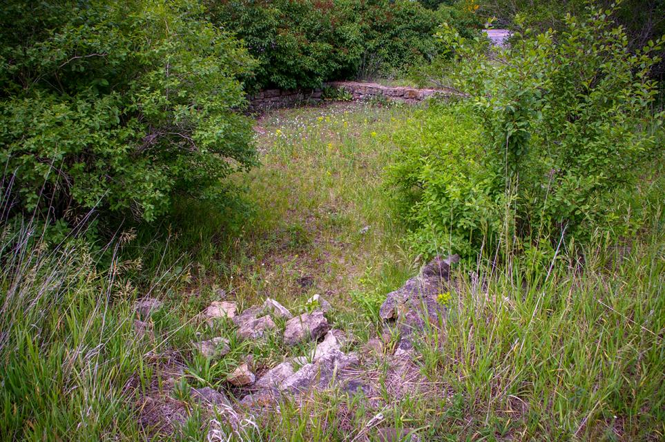
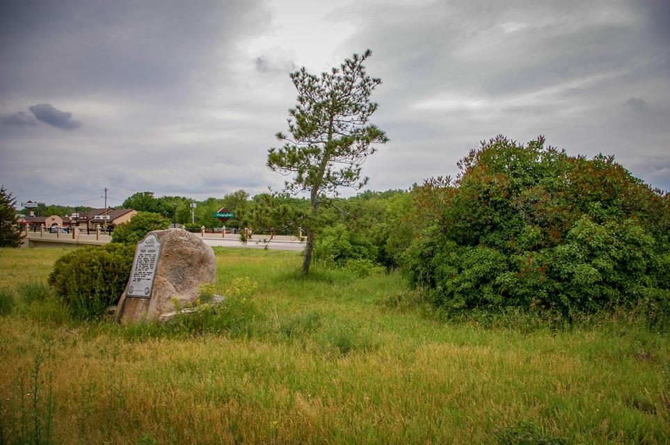


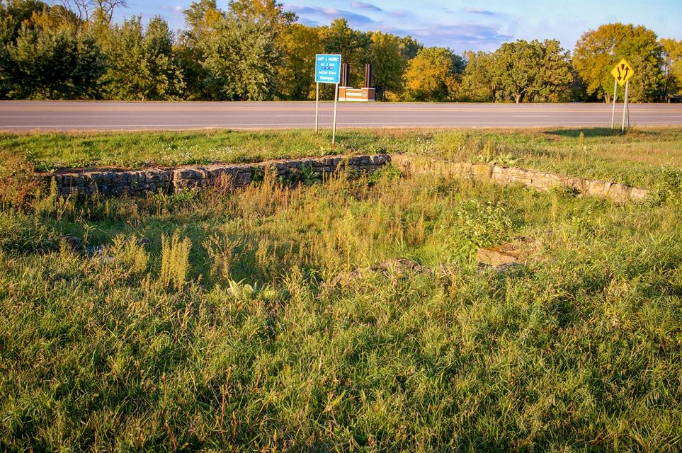
Photo Credits: [1] MARTHA DECKER [2] MARTHA DECKER [3] MARTHA DECKER [4] MARTHA DECKER [5] MARTHA DECKER [6] MARTHA DECKER [7] MARTHA DECKER [8] MARTHA DECKER
Locationbig map
| Location Description | This historical marker was once part of an extensive Minn. Highway Dept/NYA project that occupied land on both sides of Highway 101, connected by a stone veneer culvert that went under the highway. The site, known as Mill Pond Roadside Parking Area or Shakopee Roadside Parking Area, was designed by the Highway Department's premiere designer, Arthur R. Nichols. The RPA was landscaped in 1941, but the Pond Mission marker wasn't placed until 1954. All that is left of the RPA is the Pond Mission marker and the mill pond itself. |
|---|---|
| UTM (WGS84 Datum) | 15T E 460126 N 4960980 |
| Decimal Degrees | 44.80111667, -93.50416667 |
| Degrees and Decimal Minutes | N 44° 48.067', W 93° 30.25' |
| Degrees, Minutes and Seconds | 44° 48' 4.0200" N, 93° 30' 15.0000" W |
| Driving Directions | Google Maps |
| Area Code(s) | 952, 612 |
| Can be seen from road? | Yes |
| Is marker in the median? | No |
| Which side of the road? | Marker is on the right when traveling East |
| Closest Postal Address | At or near 1600-1640 County Rd 101, Shakopee MN 55379, US |
| Alternative Maps | Google Maps, MapQuest, Bing Maps, Yahoo Maps, MSR Maps, OpenCycleMap, MyTopo Maps, OpenStreetMap |
Is this marker missing? Are the coordinates wrong? Do you have additional information that you would like to share with us? If so, check in.
Nearby Markersshow on map
Comments 0 comments