Inscription
The stump before you is all that is left of a grand old oak tree that was about 270 years old when it died in 1990. The tree, which once stood 80 feet high, was located in the campground used by Santa Fe Trail travelers. It is said to have been used as a "post office" from the 1820s to the 1840s. Travelers reputedly left messages in [the] cavity at the foot of the tree about water sources, Plains Indian unrest, and other information.
In 1855, Council Grove's first postmaster was appointed. But, because there was no official post office, the postmaster simply distributed mail from a sack on the street, or emptied it onto the floor of a store where postal patrons claimed their own mail.
Communication is something that we take for granted today. During Santa Fe Trail days, information moved much more slowly. For instance, news of President Abraham Lincoln's April 14, 1865, assassination reached Council Grove on April 20, and Santa Fe fifteen days later, on May 5.
Details
| HM Number | HMU80 |
|---|---|
| Series | This marker is part of the Postal Mail and Philately series, and the Santa Fe Trail series. |
| Tags | |
| Placed By | National Park Service, City of Council Grove, and Morris County Historical Society |
| Marker Condition | No reports yet |
| Date Added | Thursday, September 11th, 2014 at 9:33am PDT -07:00 |
Pictures
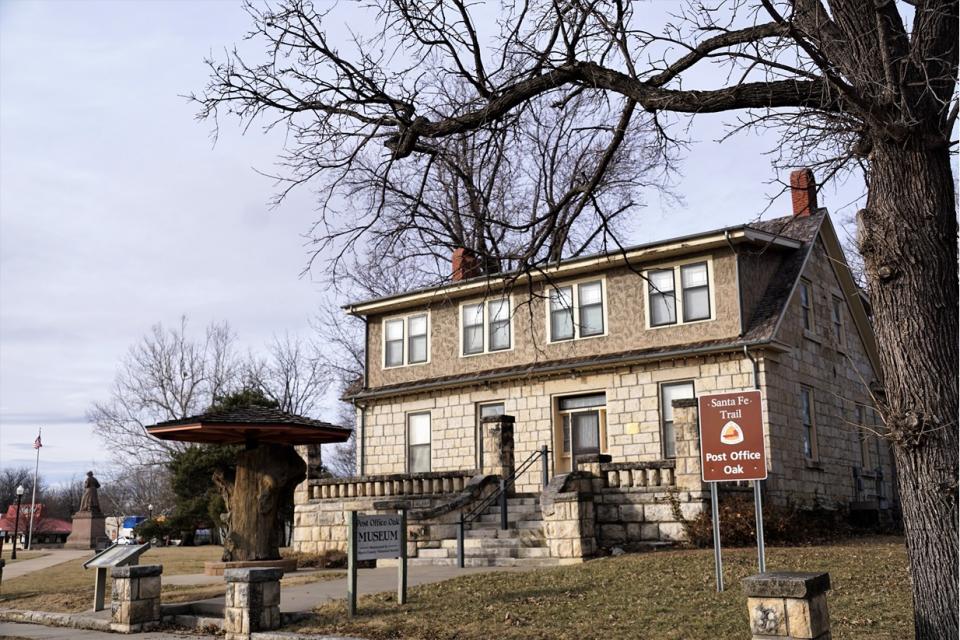

Photo Credits: [1] JULIE HAGER [2] JULIE HAGER
Locationbig map
| UTM (WGS84 Datum) | 14S E 718712 N 4282245 |
|---|---|
| Decimal Degrees | 38.66180000, -96.48631667 |
| Degrees and Decimal Minutes | N 38° 39.708', W 96° 29.179' |
| Degrees, Minutes and Seconds | 38° 39' 42.48" N, 96° 29' 10.74" W |
| Driving Directions | Google Maps |
| Area Code(s) | 620, 785 |
| Closest Postal Address | At or near 106 E Main St, Council Grove KS 66846, US |
| Alternative Maps | Google Maps, MapQuest, Bing Maps, Yahoo Maps, MSR Maps, OpenCycleMap, MyTopo Maps, OpenStreetMap |
Is this marker missing? Are the coordinates wrong? Do you have additional information that you would like to share with us? If so, check in.
Maintenance Issues
- What historical period does the marker represent?
- What historical place does the marker represent?
- What type of marker is it?
- What class is the marker?
- What style is the marker?
- Does the marker have a number?
- What year was the marker erected?
- This marker could use another picture or two.
- Can this marker be seen from the road?
- Is the marker in the median?
Comments 0 comments