Inscription
(Front):Angel Aloft Spirit of eternal light
Keep silent vigil o'er the brave
The untarnished blue.
The unsullied gray.
In peace and love unite.
Proud heroes have fallen
And over their grave
Our hearts are united
Our country to save.
Over the dead the living bend.
And up to their God their voices send.
That in Liberty's crown or Eternity's day
He may palace as far Jewels
The Blue and the Gray.
A Reunited Soldiery
The Blue
The Gray
(Upper Right Side):Blue
Maj. Gen. S.R. Curtis.
Commander of the
Army of the Southwest.
(Upper Left Side):Gray
Maj. Gen. E. Van Dorn.
Commander of the
Army of the Southwest.
Keep silent vigil o'er the brave
The untarnished blue.
The unsullied gray.
In peace and love unite.
Proud heroes have fallen
And over their grave
Our hearts are united
Our country to save.
Over the dead the living bend.
And up to their God their voices send.
That in Liberty's crown or Eternity's day
He may palace as far Jewels
The Blue and the Gray.
A Reunited Soldiery
The Blue
The Gray
(Upper Right Side):
Maj. Gen. S.R. Curtis.
Commander of the
Army of the Southwest.
(Upper Left Side):
Maj. Gen. E. Van Dorn.
Commander of the
Army of the Southwest.
Details
| HM Number | HMNTN |
|---|---|
| Tags | |
| Year Placed | 1889 |
| Marker Condition | No reports yet |
| Date Added | Tuesday, October 21st, 2014 at 2:37am PDT -07:00 |
Pictures
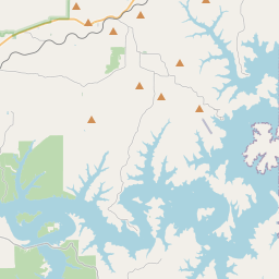
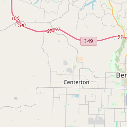
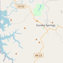
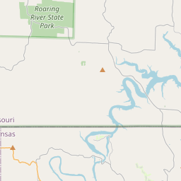
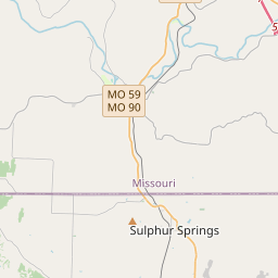
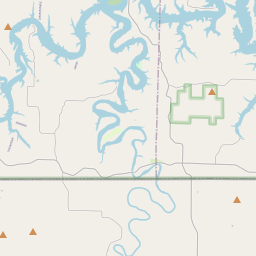
Locationbig map
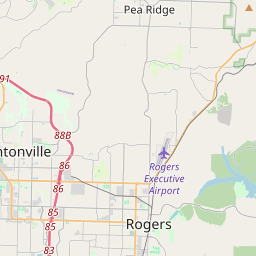
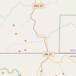
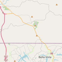

| UTM (WGS84 Datum) | 15S E 408873 N 4034699 |
|---|---|
| Decimal Degrees | 36.45321667, -94.01691667 |
| Degrees and Decimal Minutes | N 36° 27.193', W 94° 1.015' |
| Degrees, Minutes and Seconds | 36° 27' 11.58" N, 94° 1' 0.90" W |
| Driving Directions | Google Maps |
| Area Code(s) | 479 |
| Closest Postal Address | At or near 107 County Rd 65, Garfield AR 72732, US |
| Alternative Maps | Google Maps, MapQuest, Bing Maps, Yahoo Maps, MSR Maps, OpenCycleMap, MyTopo Maps, OpenStreetMap |
Is this marker missing? Are the coordinates wrong? Do you have additional information that you would like to share with us? If so, check in.
Nearby Markersshow on map
Maintenance Issues
- Is this marker part of a series?
- What historical period does the marker represent?
- What historical place does the marker represent?
- What type of marker is it?
- What class is the marker?
- What style is the marker?
- Does the marker have a number?
- Who or what organization placed the marker?
- This marker needs at least one picture.
- Can this marker be seen from the road?
- Is the marker in the median?
Comments 0 comments