Inscription
Confederate Monument
(Front):Confederate
dead
who fell on
this field
Mar., 6,7, & 8
1862.
May yet form the footstool of Liberty's throne;
And each single rock in the war-path of Alight.
Small yet be a rock in the Temple of Right.
(Right):
James
McIntosh
of Arkansas
And names in the graves that shall not be forgot;
Give me the land of the wreck and the lamb,
There's a grandeur in graves - There's a glory in gloom
(Back):
Ben
McCulloch
of Texas
And the living tread light on the hearts of the dead.
Or give me a land that is best by the dust.
and bright with the deeds of down-trodden just.
(Left):
W.Y.
Slack
of Missouri
Details
| HM Number | HMNTU |
|---|---|
| Series | This marker is part of the Battlefield Trails - Civil War series |
| Tags | |
| Year Placed | 1886 |
| Marker Condition | No reports yet |
| Date Added | Thursday, October 2nd, 2014 at 2:01am PDT -07:00 |
Pictures
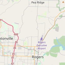
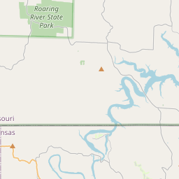
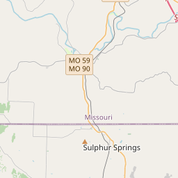
Locationbig map
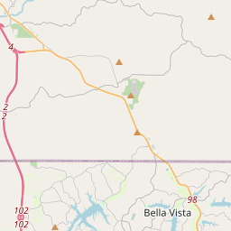

| UTM (WGS84 Datum) | 15S E 408888 N 4034669 |
|---|---|
| Decimal Degrees | 36.45295000, -94.01675000 |
| Degrees and Decimal Minutes | N 36° 27.177', W 94° 1.005' |
| Degrees, Minutes and Seconds | 36° 27' 10.62" N, 94° 1' 0.30" W |
| Driving Directions | Google Maps |
| Area Code(s) | 479 |
| Closest Postal Address | At or near 1680 County Rd 65, Garfield AR 72732, US |
| Alternative Maps | Google Maps, MapQuest, Bing Maps, Yahoo Maps, MSR Maps, OpenCycleMap, MyTopo Maps, OpenStreetMap |
Is this marker missing? Are the coordinates wrong? Do you have additional information that you would like to share with us? If so, check in.
Nearby Markersshow on map
Maintenance Issues
- What historical period does the marker represent?
- What historical place does the marker represent?
- What type of marker is it?
- What class is the marker?
- What style is the marker?
- Does the marker have a number?
- Who or what organization placed the marker?
- This marker needs at least one picture.
- Can this marker be seen from the road?
- Is the marker in the median?
Comments 0 comments