Inscription
March 7, 1862 - Early Afternoon
Confederate commander Earl Van Dorn had pushed his army relentlessly for a week to catch the Union army by surprise. Now, after hours of hard fighting up the Telegraph Road, here in sight of Elkhorn Tavern, Van Dorn gambled by committing all his reserves. As the Missouri State Guard regiments drove back the last Federal defenders, Elkhorn Tavern appeared to be a bold Confederate victory.Like magic the word 'Charge!' ran along the line... a battery [of six Union cannon] opened upon us...tearing through our lines...[we] recoiled for an instant under the iron hail...when 'On to the battery!' was the cry, and with a yell..we closed upon the opposing ranks...the thunder of the artillery and the opening roll of the muskets...were deafening...the torrent of lead and iron poured through the surrounding smoke.
Ephraim Anderson, private, 2nd Missouri Regiment
Details
| HM Number | HMP98 |
|---|---|
| Tags | |
| Placed By | Pea Ridge National Military Park - National Park Service - U.S. Department of the Interior |
| Marker Condition | No reports yet |
| Date Added | Sunday, October 5th, 2014 at 5:36am PDT -07:00 |
Pictures
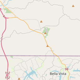
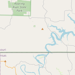
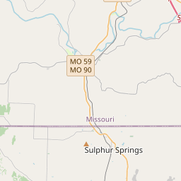
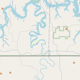
Locationbig map

| UTM (WGS84 Datum) | 15S E 409031 N 4034764 |
|---|---|
| Decimal Degrees | 36.45381667, -94.01516667 |
| Degrees and Decimal Minutes | N 36° 27.229', W 94° 0.91' |
| Degrees, Minutes and Seconds | 36° 27' 13.74" N, 94° 0' 54.60" W |
| Driving Directions | Google Maps |
| Area Code(s) | 479 |
| Closest Postal Address | At or near 183 County Rd 65, Garfield AR 72732, US |
| Alternative Maps | Google Maps, MapQuest, Bing Maps, Yahoo Maps, MSR Maps, OpenCycleMap, MyTopo Maps, OpenStreetMap |
Is this marker missing? Are the coordinates wrong? Do you have additional information that you would like to share with us? If so, check in.
Nearby Markersshow on map
Maintenance Issues
- Is this marker part of a series?
- What historical period does the marker represent?
- What historical place does the marker represent?
- What type of marker is it?
- What class is the marker?
- What style is the marker?
- Does the marker have a number?
- What year was the marker erected?
- This marker needs at least one picture.
- Can this marker be seen from the road?
- Is the marker in the median?
Comments 0 comments